Ride with GPS route files
The Eastern Continental Divide is some topography that is of interest for creating a cycling route. This notion is inspired in part by the Western Continental Divide route named "the Great Divide" that is used in the Tour Divide.
A "project" of mine, (not really mine) is to propose a route. Links to info about the Eastern Continental Divide (ECD) begin with: Wikipedia Eastern Continental Divide, ECD GPS info for Ga, ECD GPS info for NC.
Work has already been done on the ECD section from the triple point in Pennsylvania to the Mason Dixon line:
ECD Pennsylvania to Mason Dixon Line
Here is a link to a route I have been stitching together based on the Trans North Ga route, the SC Connector, and the Pisgah Traverse: ECD Ga SC Pisgah
This section runs North to South, is 620 miles and features an estimated 89,000 feet of climbing. It crosses the ECD at least 6 times.
More work is needed. If you know the areas between Old Fort NC and the Mason Dixon Line and can propose a route, please contact me.
SouthEast Climb data: SE Hill Climb data spreadsheet
Showing posts with label training. Show all posts
Showing posts with label training. Show all posts
September 05, 2011
June 06, 2011
Some last minutes facts and figures (for those who like numbers)
Richard's weight at Start - 210 lbs, 14% body fat (by impedance method)
Miles ridden since December 5, 2010 = 4038
Number of Bikepacking trips done for training = 5 (3 in the mtns, 2 on rolling terrain)
Max number of feet climbed on a loaded bike in 1 day = 9600/120 miles
Steepest grade ridden on loaded bike - 17% for 0.2 miles (Green River Cove road)
Number of bears seen = 0
Number of deers seen = plenty
Other critters seen = not many
Weight of bike and gear (without snow shoes) 49 lbs (I will send unneeded equipment home as I go)
The sun rise in the Northern parts of the course is 4:30 AM.
Sunset is 9:45 PM.
Avg night time temp is upper 20's to mid 30's on most of the course (due to elevation)
May 17, 2011
The drone of the 13 year Chicada
April 28, 2011
How to climb Fern Gully
Climbing this short (50 yards) steep (25%) gully single track has become a challenge for local mtn bikers. In this video, I demonstrate how it is done. Keys to a successful climb are good traction (tires) and absence of leaves on the trail, correct gear selection, how fresh you are and a little bit of coordination. My success rate is about 50% climbed - depending on how the factors above combine.
How to climb Fern Gully
How to climb Fern Gully
April 19, 2011
2011 Tour Divide preparation report - April 19, 2011
April 19, 2011. I am ready. Equipment is selected and dialed in. I have logged 3000+ mile since December 5th and am in a maintain/hold pattern of fitness, teetering on the edge of loosing what I have and carving a peak too early. This past Sunday I rode 105 miles, two major climbs totaling 9000 feet in elevation gain and wanted to go longer, but ran out of time. My wife snatched me off the mountain and took me home. That was plan E for the weekend. Plans A,B,C and D got nixed due to killer tornadoes that ripped through the south, killing 41 people. One lesson I have learned - the hard way - about my outdoor adventures is you can't beat the weather - you must co-operate with it. Don't be a hero. More later...
The Route:

A few of pics from Sunday's ride:
The Route:

A few of pics from Sunday's ride:
 |
| Top of Caesars's Head - 7 miles avg grade = 6%, mile 75 into route |
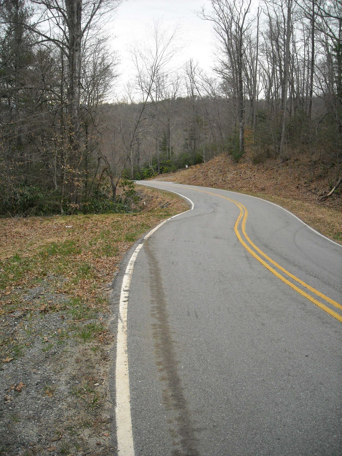
 |
| Eastern Continental Divide on the back side of Caesars head, mile 78 into route. |
 |
| Cradle of Forestry, Pisgah National Forest mile 105 of my trip. |
March 21, 2011
TDR 3 Day Mountain Bikepack training ride - Solo (almost)
Training for the 2011 Tour Divide has become more of a solo endeavor. My training friend, 2010 TDR finisher Shawn Sheppard, has taken a new job in Virginia and moved away. I continue on, accompanied in sunny weather by my shadow, aka Dickey.
This weekend I needed to do 3 days and two nights in the mountains of SC/NC with a loaded bike to check out my bio-mechanical fitness (how well my knees will hold up) and soft tissue fitness and hygiene (ie saddle sore situation).
Link to video of --> Start report
My plan involved leaving from work in the late afternoon and riding to Saluda NC. Saluda is at the top of a major climb from the elevation in the upstate SC of 800 - 900 feet to the 1800 - 2000 foot level. Saluda is somewhat of a "Mayberry" town with its quaint shops and eateries. Most notable is the Purple Onion Cafe, which serves up a good pizza and has wonderful staff. After pizza dinner. I rode the final 4.5 miles to Orchard Lake campground and bivied under the stars to a huge full moon, listening to frogs and the sound of a nearby creek.
Saturday morning started before sun-up with a quick pack up of dew dampend equipment. My left knee had aggrivated me on the climb into Saluda and when it started again a mile out of the campground, I stopped and noticed my saddle had slid back and I was putting too much pressure on the top of the knee. I stopped and moved my saddle full forward, and continued on. The knee pain decreased. Lesson learned (again): mark saddle setback position with marking tape to detect saddle setback movement before knee pain starts.
Saturday's route traveled through gravel Green River Cove road, DuPont Forrest and Cascade Lakes road towards Brevard. Once in Brevard, the plan was to climb more gravel roads to Highway 215, then climb a 6 mile 6% avg grade paved climb to the Blue Ridge parkway and descend 25 miles back to Pisgah and bivy near the Pisgah Horse stables. At the entrance to Pisgah Forest, I was confronted with a huge flashing sign announcing FS 475 was closed due to a major wash out. Gravel trucks were running up and down the road, not a good sign for a guy on a 45 lb bike. After a quick stop at the closed Pisgah Ranger station, I rerouted and took FS 474 up to the Parkway, climbing steadily on gravel roads and Hway 276. The junction of 276 and the Parkway served as my rewarding milestone rest stop where I finished my SubWay sandwich in a swarm of flying things, while dark clouds loomed in the distance and the distant sound of thunder threatened. I put on my helmet cam and began the descent back towards Pisgah, only to get caught in the rain.
Link to video at Stop at Blue Ridge Parkway
Sunday started early. I needed to get back home to the wife and kids in Spartanburg, The good news was the weather was good: cool and overcast, but my fatigue level was higher and I missed the breakfast I needed because I started before the restaurants opened. Nothing like a Butterfinger Candy Bar for breakfast.
The road out of Brevard is nice. Little traffic, shouldered roads and gentle grade, My route had me taking a road through the area named Becky Mountain. The elevation profile showed Becky Mountain as a steep wall. I thought it was a GPS mapping error and ignored it as I planned the route. I was wrong.
When I turned off of 276 onto Becky Mountain Road it was an 8% 2 mile climbed, that I ended up having to dismount and push up. (I don't walk many climbs and can probably count the number of climbs I have walked in the past 15 years on one hand). I stayed positive and focused on the descent down the back side of the climb. It was worth it.
The next 50 miles consisted on re-tracing the same gravel roads I rode in on and dealing with the steady headwind back to Spartanburg. I finished the 200 mile trip with 13,000 feet of climbing by 3 PM.
Video of Finish report in Spartanburg
 |
| Dickey |
Link to video of --> Start report
My plan involved leaving from work in the late afternoon and riding to Saluda NC. Saluda is at the top of a major climb from the elevation in the upstate SC of 800 - 900 feet to the 1800 - 2000 foot level. Saluda is somewhat of a "Mayberry" town with its quaint shops and eateries. Most notable is the Purple Onion Cafe, which serves up a good pizza and has wonderful staff. After pizza dinner. I rode the final 4.5 miles to Orchard Lake campground and bivied under the stars to a huge full moon, listening to frogs and the sound of a nearby creek.
Saturday morning started before sun-up with a quick pack up of dew dampend equipment. My left knee had aggrivated me on the climb into Saluda and when it started again a mile out of the campground, I stopped and noticed my saddle had slid back and I was putting too much pressure on the top of the knee. I stopped and moved my saddle full forward, and continued on. The knee pain decreased. Lesson learned (again): mark saddle setback position with marking tape to detect saddle setback movement before knee pain starts.
Saturday's route traveled through gravel Green River Cove road, DuPont Forrest and Cascade Lakes road towards Brevard. Once in Brevard, the plan was to climb more gravel roads to Highway 215, then climb a 6 mile 6% avg grade paved climb to the Blue Ridge parkway and descend 25 miles back to Pisgah and bivy near the Pisgah Horse stables. At the entrance to Pisgah Forest, I was confronted with a huge flashing sign announcing FS 475 was closed due to a major wash out. Gravel trucks were running up and down the road, not a good sign for a guy on a 45 lb bike. After a quick stop at the closed Pisgah Ranger station, I rerouted and took FS 474 up to the Parkway, climbing steadily on gravel roads and Hway 276. The junction of 276 and the Parkway served as my rewarding milestone rest stop where I finished my SubWay sandwich in a swarm of flying things, while dark clouds loomed in the distance and the distant sound of thunder threatened. I put on my helmet cam and began the descent back towards Pisgah, only to get caught in the rain.
Link to video at Stop at Blue Ridge Parkway
 |
| Blue Ridge Parkway at junction with Hwy 276 |
 |
| Map location and elevation |
Sunday started early. I needed to get back home to the wife and kids in Spartanburg, The good news was the weather was good: cool and overcast, but my fatigue level was higher and I missed the breakfast I needed because I started before the restaurants opened. Nothing like a Butterfinger Candy Bar for breakfast.
The road out of Brevard is nice. Little traffic, shouldered roads and gentle grade, My route had me taking a road through the area named Becky Mountain. The elevation profile showed Becky Mountain as a steep wall. I thought it was a GPS mapping error and ignored it as I planned the route. I was wrong.
 |
| Becky Mountain |
 |
| Becky Mountain |
The next 50 miles consisted on re-tracing the same gravel roads I rode in on and dealing with the steady headwind back to Spartanburg. I finished the 200 mile trip with 13,000 feet of climbing by 3 PM.
Video of Finish report in Spartanburg
February 20, 2011
February 12, 2011

November 07, 2010
Who says Southerners can't climb!!!!
I think we have some of the best cycling and climbs right in our back yard of the Upstate SC. No matter how you measure the difficulty of a climb, a strong climber in the Southeast is competitive anywhere in the world. I analyzed some local climbs and compared them to climbs known and revered elsewhere. The simple metric that best represents difficulty is grade and length.(Feet climbed per mile) Click the linked table below to open it in a larger window and see how the climbs rate.
Southeastern Climb data with Feits Index comparison
Southeastern Climb data with Feits Index comparison
Subscribe to:
Posts (Atom)